The new Urban Archive map

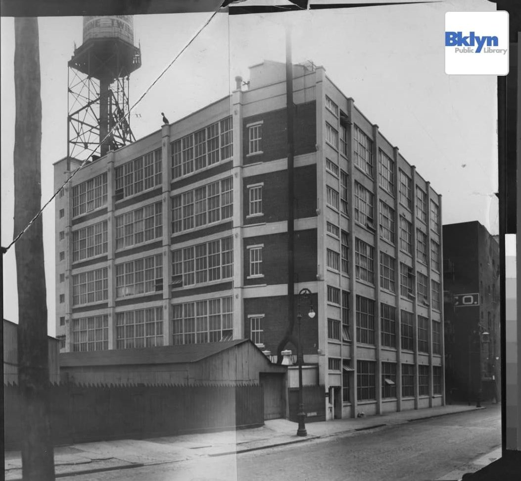
The website Urban Archive launched a new map today with historical photos with many of North Brooklyn’s days of yore.

Via Urban Archive

An Android and desktop-friendly feature to the new map— along with the ios app — makes the content accessible on all devices with an internet connection. The images are sourced from archives from the NY Public Library, the NY Transit Museum, and other public archives.

Via Urban Archive.

New York and especially Greenpoint history buffs might appreciate some of the East River waterfront images, including a dock with tug boats at the end of Dupont Street from 1946, and more photos in the vicinity of the Greenpoint Landing development.

As a fun way to get acquainted with the map, the Urban Archive web app also has a stories section with tours of sites related to legends like Mark Twain and forgotten development projects from the city’s past like the transformation of the Croton Distributing Reservoir into New York Public Library’s main branch.


v

Leave a comment

Your email address will not be published. Required fields are marked *