
A few months ago the city released its 1940s tax photo archive of over 700,000 black and white pictures and it’s a wonderful way for history nerds to waste hours dreaming of the Greenpoint days of yore. As part of the New Deal, the Works Progress Administration employed millions of Americans on public projects, and the NYC Dept. of Taxation hired a team of photographers under the program in 1939 – 1940 to snap pictures of every…
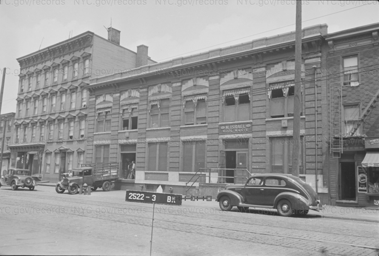
1940s Greenpoint: Franklin Street
Leave a comment
Greenpoint
Look at those nice old pictures
Before —nice and clean and business place …
Now -just figure out yourself ….
I lived directly across the street from the last picture….during the 70s it was a diner called Steve’s….many memories on Franklin.