
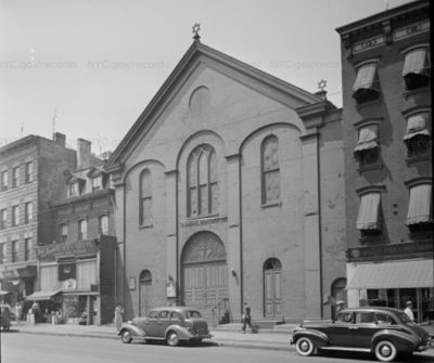
Manhattan Avenue, like the rest of New York City, has seen a lot of changes since 1940, and here we’ve compiled a ‘before and after’ series of the northern stretch of the Avenue (past Greenpoint Avenue) using the 1940s NYC tax photo archives. Did you know there was a synagogue where C-Town now stands? Check it out:
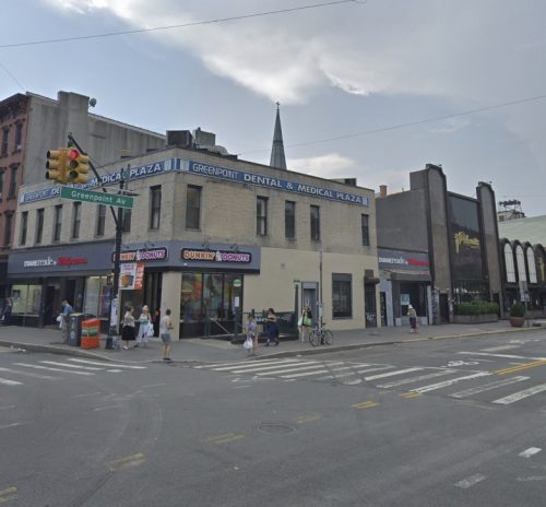


990 Manhattan Ave. in 2018 (via Google Maps)
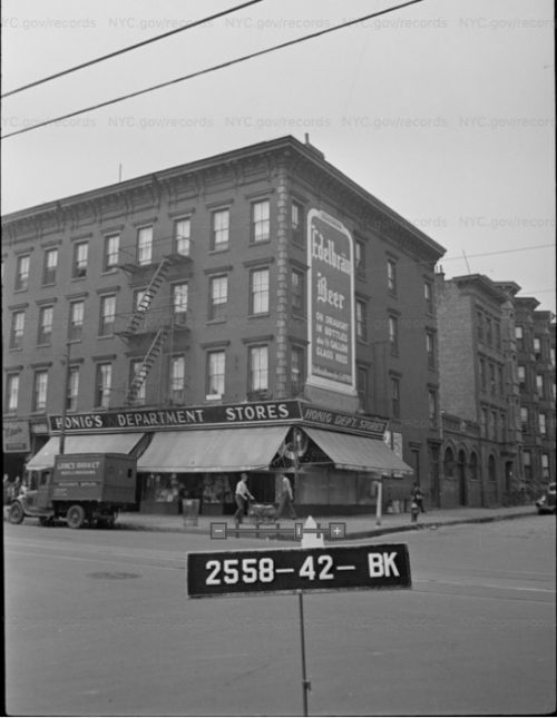
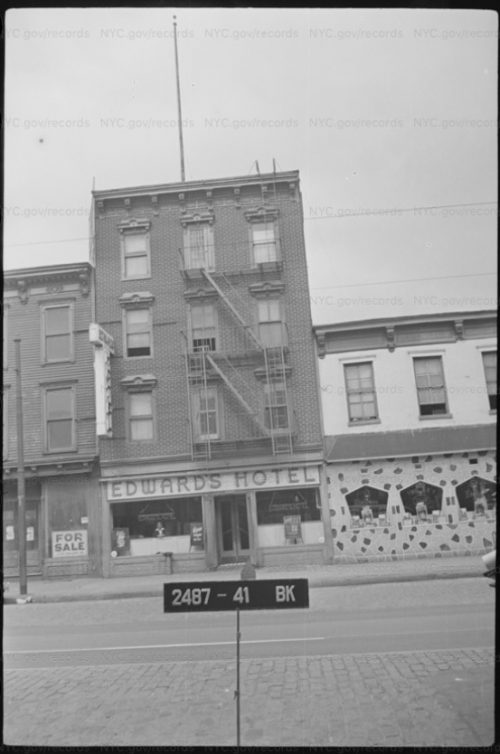
994 Manhattan Ave. in 1940 (via NYC tax photo archives)
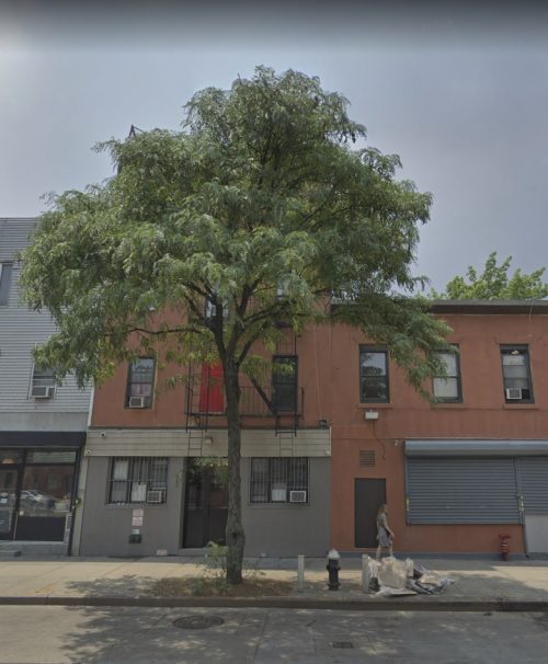
994 Manhattan Ave. in 2018 (via Google Maps)
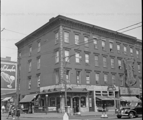
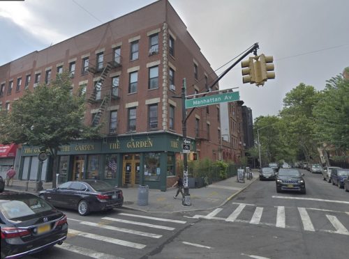
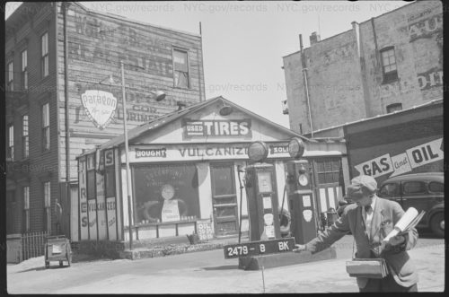
972 Manhattan Ave. in 1940 (via NYC tax photo archives)
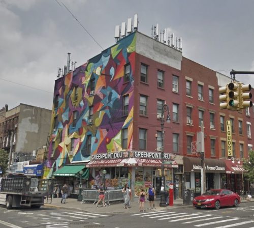
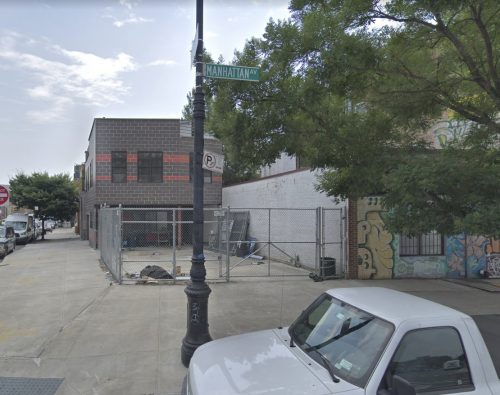
972 Manhattan Ave. in 2018 (via Google Maps)
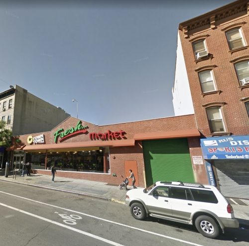
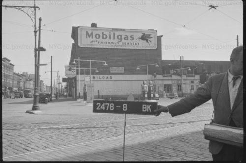
1002 Manhattan Ave. in 1940 (via NYC tax photo archives)
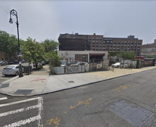
1002 Manhattan Ave. in 2018 (via Google Maps)
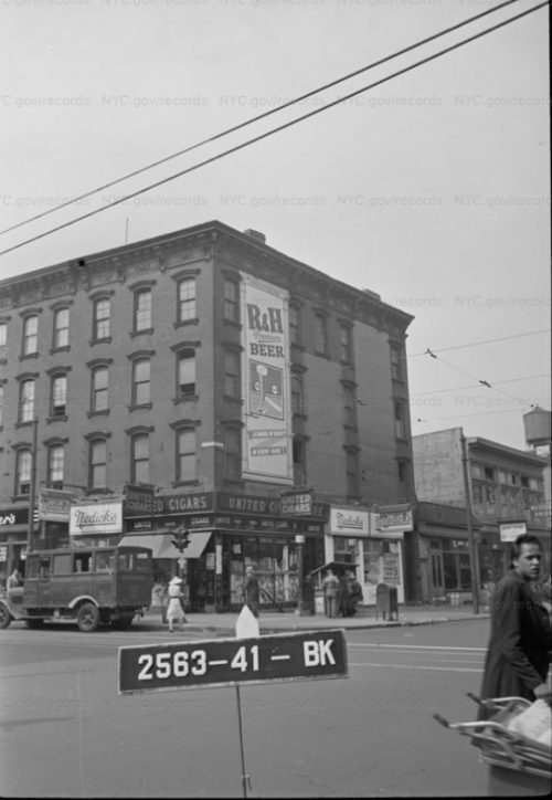
1001 Manhattan Ave. in 1940 (via NYC tax photo archives)
1001 Manhattan Ave. in 2018 (via Google Maps)
1026 Manhattan Ave. in 1940 (via NYC tax photo archives)
1026 Manhattan Ave. in 2012 (via Google Maps)
1041 Manhattan Ave. in 1940 (via NYC tax photo archives)
1041 Manhattan Ave. in 2012 (via Google Maps)
1056 Manhattan Ave. in 1940 (via NYC tax photo archives)
1056 Manhattan Ave. in 2015 (via Google Maps)


1047 Manhattan Ave. in 2018 (via Google Maps)
1071 Manhattan Ave. in 1940 (via NYC tax photo archives)
1071 Manhattan Ave. in 2018 (via Google Maps)
2512 Freeman Street and Manhattan Avenue
Love how the liquor store is still a liquor store.
great shots…
Any images of the Sugar Bowl diner?
Found Freeman Street the corner I passed daily for 21 years plus. Great photos. You should have listed the cross streets to help locate the buildings.