

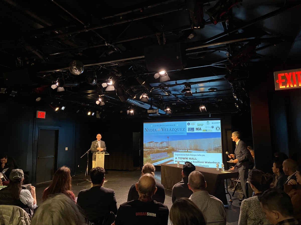
Residents and environmental groups in northern Brooklyn are speaking out against a new plan that would reshape the city’s waterfront in the decades to come.
The Army Corps of Engineers’ coastal risk management plan stems from the NY & NJ Harbor & Tributaries Focus Area Feasibility Study, which presents strategies for flood mitigation. The tentatively selected plan, Alternative 3B, would include 12 primary storm surge gates across major waterways, including Newtown Creek and…
Walls or esplanades?
We’ll get a 17 foot high wall to cut us off from the East River in order to ostensibly “save” Greenpoint (which reminds me of the rationale we used in destroying Vietnamese villages in order to “save” them);
https://www.6sqft.com/army-corps-of-engineers-releases-first-renderings-of-nyc-sea-walls-for-coastal-storm-protection-plan/
This while our well-to-do & well-connected neighbors right across the East River in Manhattan get a brand new & beautiful elevated waterfront esplanade that they can enjoy.
What wrong with this picture? Does anyone care?
https://newyorkyimby.com/2023/03/east-midtown-greenway-nears-completion-along-the-turtle-bay-waterfront-in-midtown-manhattan.html