
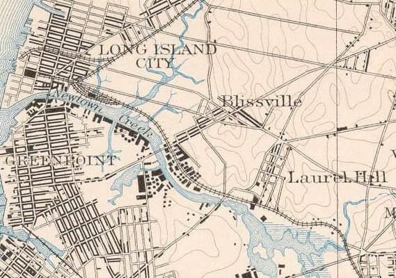
1891 map of Blissville
1891 map of Blissville
2
Free to read, funded by readers. Join as a member and get a free gift.
Greenpointers has covered Greenpoint & Williamsburg since 2007 — community boards, rezoning fights, local businesses, and the people whose lives and work give the neighborhood its character. Local news is collapsing across the country, but we're still here: independently owned, no corporate backing, no paywall. 18+ years, 280k+ monthly readers and followers, funded by the community we serve.
Why your support matters
Can you identify the source of the historic map? Thank you Kim
Hi Sara,
All of my maps were pulled from Forgotten-ny.com. The colors ones are from Altas plates and the 1891 Blissville map unfortunately doesn’t have a source. For historical maps your best bet is the Municipal Archives Office on Chambers St. They’ve got tons of info: tax maps/photos, old topographical maps, historic Sanborn Insurance maps etc. It’s worth a trip just for the restoration job in the lobby. Sorry I can’t be of more help. Good luck on the hunt!